Greetings from Whitefish, Montana! Pam and I are currently hogging a couple of computers in the public library to catch up on two weeks worth of electronic communications. Two weeks of incommunicado in the Information Age? We may as well not exist anymore!! Best rest assured, we are alive and well and having the trip of a lifetime.
The bus ride from Richmond, VA to Banff, AB took over three days. We both felt like it would never end but at last it did, depositing us at the train station. It took us a couple of hours to debox our bikes and reassemble them, pack up and figure out where the heck we were in town. Pam and I spent a day wandering about only to develop a slight claustrophobia and itchy feet, so it was terrific to hit the road/trail on Sunday morning. Although we started in the wrong place, rode around confused for a half an hour, and then linked together a couple additional trails to get us onto the correct one. But hey, we got there! "Town" followed us for the first ten miles of trail with day bikers and hikers riding all about us. It was a relief to get further away and the crowds dissipated to replaced with bear poop. Yes, we knew to watch out for bears, but now we kept extra alert singing random tunes and talking extra loud. (Ask one of us to do a rendition of "The Star Spangled Bear" which is the national anthem with "bear" liberally peppered into the lyrics). Quite tired, but overwhelmingly happy with our beautiful surroundings, we camped on the edge of Spray Lake.
The following day was even more riding along the edge of Spray Lake with more bear (and moose!) poop littering the way. Leaving the lake, we found ourselves pushing the bikes up some short but incredibly steep rocky inclines and then rocketing down through the woods on old logging roads. Eventually 20 miles along a dusty gravel road brought us to our next campground. Note: Rednecks in pickup trucks on gravel roads respond identically to cyclists in Canada as in the US.
The third day brought our first crossing of the Continental Divide! Ten miles of climbing on dirt roads took us up to the top of Elk Pass and into British Columbia. The payoff for our early labors was another ten miles of downhill on dirt roads. We occasionally stopped to cross small streams or rutted sections formed by runoff. Here we also saw our first grizzly bear track, which is humbling to say the least! Another twenty miles of the gravel Elk River Rd to the Blue Lake campsite. There our tranquil settings were interrupted by a dozen trucks full of folks in the twenties arriving to have a raucous party until the wee hours of the morning. Fortunately we were so tired that even their thumping bass couldn't deny us sleep. Waking up in the morning, we saw the last partyers drag themselves to their vehicles and depart. Then it rained. And kept raining. And it was chilly. Which made even the dozen miles into Elkford suck. We arrived soaked, cold and hungry to the motel where a local commented in the most Canadian of accents, "Bit of a rainy day for biking, eh?" Yes, brilliant observation. We retired to the motel, jacked up the heat in our room, did laundry, pillaged their restaurant, and slept so well.
From here, we decided on a detour from the Great Divide route to head over to Waterton and Glacier International Peace Park. We biked over the Continental Divide again over Crowsnest Pass and back into Alberta and in Coleman we had one of the best bacon mushroom cheeseburgers ever. Ever. Also, gravy on fries, poutine, whatever you want to call it, is awesome. While Pam and I regretted being on pavement along with all of the cars and trucks, the next route served up a truly memorable day after that. Finally a sunny day, we biked about 15 miles pleasantly. Then the crosswinds and headwinds began that made us work for the rest of the day! On one uphill section, a passing truck stopped to warn us of a bear ahead. Right and that moment, we saw a quite large grizzly gallop across the road 100 yards ahead of us. Close enough for me! Several miles further along, we saw what looked like a riderless horse herding cattle. Instead it was a cow moose scaring cattle and running in circles in a field looking for an escape. Coming into Pincher Creek, tailwinds from a storm got us up to about 30 mph (I dunno, my computer is broken...) only to be frighteningly hit with crosswind gusts. That can tire your arms out trying to stay straight. Thoroughly frazzled, we stopped at a grocery store for supplies and directions to the campground. A kindly customer gave us directions only to end up meeting us twenty minutes later at the campground to invite us to her house. Sally and Brent (who happens to be a minister) gave us a warm welcome into their home letting us shower, do laundry, and preparing a delicious dinner. They regaled us with stories of their own trips and then we left to watch Brent referee a kids' soccer game nearby. The night was capped with a driving tour of town and the wind turbine fields (Pincher Creek is pretty windy) and ice cream. Thanks guys!
Heat and headwinds and consistent uphills combined for an energy sapping ride into Waterton Lakes park, but once there it was gorgeous! We took a day there to relax and explore and for me to strip part of Pam's crankset in an attempt to fix it. Whoops. We also saw a red fox on one of our walks. The next day we left the park and did several steep long climbs in the rising temperatures that eventually brought us back into the USA. Thankfully we were able to refill our water partway through from the Belly River. Later on we entered open range. Imagine two hot, tired cyclists yelling at a group of cows to try and move them off the road. It's funny if you're not one of the cyclists. It's funny if you're one of the cyclists too, I guess. More headwinds and more people who should have their licenses revoked livened up the last miles into Babb, MT. (Cue another cheeseburger and a cheesesteak and cold soda.) The next day was a short one taking us into Glacier National Park (Pam's first time there) and the Rising Sun Campground. There we psyched ourselves up with gin rummy, burritoes, and an early bed time for the next day's riding: Going to the Sun Road.
The day that Pam and I rode Going to the Sun Road through Glacier ranks as one of the best days of biking ever. We woke at 4 am with the first hint of dawn and were on the road at a little after five. We had the road to ourselves as we biked steadily uphill gawking at the mountains around us awash in a reddish orange glow of the rising sun. It was magical. We eventually gained Logan Pass only having been passed by a handful of cars. After a second breakfast at the pass and watching the parking lot explode with cars, we boogied. Going to the Sun Road is literally cut into the faces of mountains and only a two foot high stone wall separates the road from a plunging drop of thousands of feet. On a bike, you glide effortlessly down from the pass through hairpin turns around which is another breathtaking view of natural splendor. It truly defies written explanation. Along the way we passed several bicycle tourists laboring uphill. Pam and I mistook a hoary marmot for a rock on the road and Pam narrowly skimmed past it. We stopped to see a pair of mountain goats grazing. Just marvelous! All good things don't have to end because we biked to Apgar Village and at the campground, we met Ben, Naomi, Josh and Becca, fellow cyclists. We spent two evenings there having broad ranging discussions over dinner with Ben and Naomi who are Australians.
Yesterday, we pried ourselves away from the park and made our way to Whitefish, MT. There a new crankset awaited us to remedy my earlier mistake. Also, our friends Bill and Kathy welcomed us into their beautiful log house (so jealous) with a majestic view of Whitefish Lake. It has been a pleasure to spend time with them talking about their travels, fixing bikes and admiring life in Whitefish. It will be a shame to leave tomorrow, but the trip must continue!
 |
| Finally, off of the bus! |
 |
| Tunnel Mountain CG, Banff. Don't like the weather? Wait two seconds. |
 |
| Wait. Where are we? Lost before the first mile... |
 |
| A beautiful lunch spot on the first day of riding. |
 |
| First bear poo sighting. |
 |
| The first of 1001 ways to prepare tuna. Remember the shrimp dialogue from "Forrest Gump"? |
 |
| Spray Lakes West Road- Day Two |
 |
| We definitely have a bear fetish. |
 |
| Rightly, so. Coming off of Elk Pass. |
 |
| We also have a cabin fetish, but this one was creepy and mouse infested so we didn't stay here in the Elk River Valley. |
 |
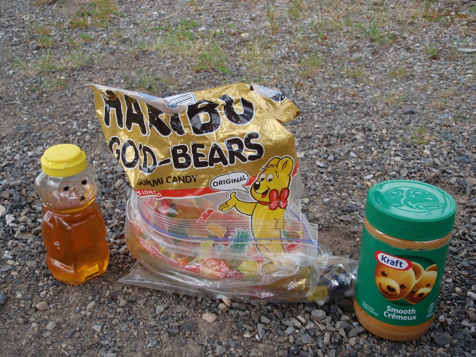
| Bagel with peanut butter, honey, and crushed salt & vinegar chips. Yep, it's a thing. |
 |
| Elk River Road. It goes for a ways. Watch for logging trucks. And bears. |
 |
| Who likes biking in 50 degrees and rain? This girl! |
 |
| This is the biggest dump truck I have ever seen. Sparwood, BC |
 |
| Rocky Mountain Sheep in Crowsnest Pass. |
 |
| Coleman, AB |
 |
| Entering Waterton Lakes National Park |
Somehow, my pictures from Glacier didn't upload correctly. Since, it took me about a half an hour to get these to upload and I have twice exceeded my 1 hour time limit at the library, I may have to stop short and post those pictures next time. Sorry!